
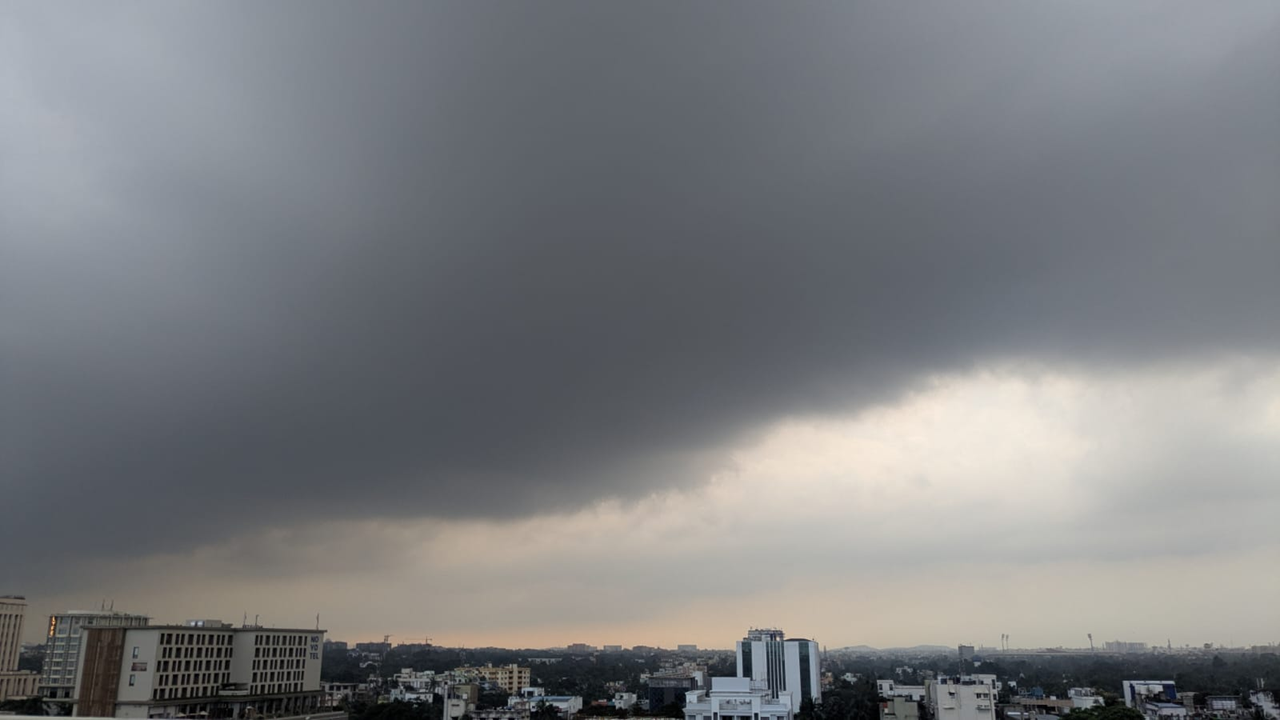
Low pressure over Bay of Bengal has been formed yet again. Another low pressure area is going to form in the Bay of Bengal by October 13.
Under the influence of an active atmospheric cyclone that has emerged from the Gulf of Thailand, a new low pressure area is likely to form. The low pressure will form in the southeast Bay of Bengal by October 13. This forecast has been made by the Indian Meteorological Department.
A strong cyclone is reportedly coming from the Gulf of Thailand. According to the data of the Meteorological Center, an atmospheric cyclone is currently active in the Gulf of Thailand and its surrounding areas.
This Low Pressure Over Bay of Bengal has spread from the sea level to a height of about 7.6 km in the atmosphere. It is gradually moving west-northwestwards.
This active cyclone will enter the Andaman Sea on the 11th. With favourable maritime conditions, it will further intensify and develop into a distinct low-pressure area over the southeast BoB on October 13.
MeT is monitoring how much it will intensify after the formation of the low-pressure area and which coasts it will face.
Due to the possible low pressure, the wind speed will increase over the Andaman Sea. Later over the southeast Bay of Bengal and the sea will remain rough. There will be rain in Odisha.