
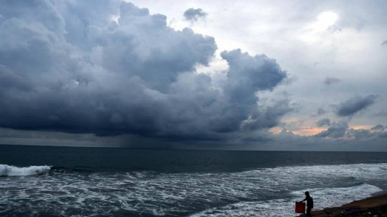
The low pressure in Andaman Sea area may develop into a depression today. There is low chance of any cyclonic effects to Odisha.
North Andaman Sea will be turbulent, said weather reports. A depression may develop in the North Andaman Sea today. The low pressure area formed off the coast of South Myanmar and its adjoining areas is likely to intensify further and develop into a depression over the North Andaman Sea.
The Low pressure in Andaman Sea is likely to develop into a depression. This weather system is expected to move north-northwestwards in the next two days. It may head towards the northeast Bay of Bengal and Bangladesh.
The path is likely to be along and near the sea areas parallel to the Myanmar-Bangladesh coast. While the cyclone associated with the low pressure area has spread to high altitudes of the atmosphere, the southwest monsoon is moderate to active over the Andaman Sea.
As a result, the sea is likely to remain turbulent and the wind speed is likely to increase. The Andaman Sea and the Andaman and Myanmar coasts are likely to experience strong winds with a speed of 40 to 50 kmph. Gusts may reach 60 kmph. The sea is likely to be rough to very rough during this time.
Fishermen have been advised not to venture into these sea areas for the next 48 hours. Fishermen at sea have been asked to return to the coast, while small boats and vessels have also been warned.
Rain or thundershowers are likely at many places along the Andaman and Nicobar coasts. Heavy rain is also likely at some places. The Meteorological Department is monitoring whether this system intensifies further while it is over the sea. Its intensity and possible path will be more clear in the next bulletin.