
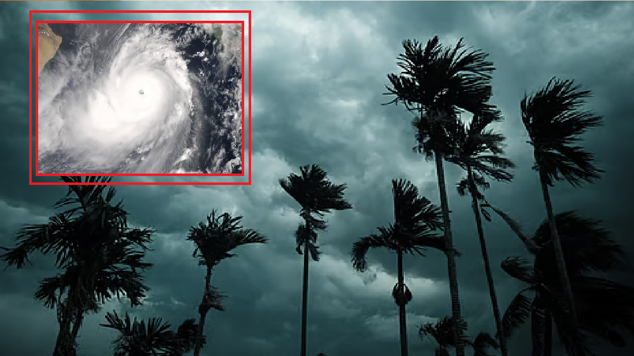
Cyclone threat to Odisha! Jason Nichols forecasts that cyclone may affect three states including Odisha. The Bay of Bengal may become turbulent again in the last week of October. A new low pressure is likely to form today under the influence of the cyclone active near the Andaman Sea.
Some international weather models indicate that it may further intensify and take the form of a depression, deep depression and even a cyclone threat to Odisha is likely.
Odisha, Andhra Pradesh and West Bengal coasts are being monitored in this regard. However, there is still uncertainty about the possible wind speed, path and location of landfall.
India Meteorological Department’s Bulletin
According to the India Meteorological Department’s bulletin on October 21, an upper atmosphere cyclone from the Gulf of Thailand, Thailand and Myanmar adjacent areas has reached the north Andaman Sea.
The cyclone is likely to move west-northwestwards and form a low pressure area over the southeast and adjacent central Bay of Bengal by October 23.
Domestic weather agency Skymet Weather has also indicated the possibility of a new depression forming in the Bay of Bengal. According to its forecast on October 20, a depression is likely to form in the southeast and central Bay of Bengal by October 23 and may strengthen further in the next three days
The European Meteorological Forecasting Centre ECMWF’s model also shows the possibility of a strong weather system forming in the Bay of Bengal. ECMWF’s model-based estimates indicate that the potential cyclone will move towards the coast between Machilipatnam and Kakinada in Andhra Pradesh by October 28.
Windy on Cyclone threat to Odisha
On the other hand, a forecast map of popular weather platform Windy shows a strong cyclonic storm-like weather system in the Bay of Bengal. Especially the coastal areas south of Visakhapatnam may be within its possible path. Based on the color indicator of the map, the possibility of wind speeds of about 70 to 100 kilometers per hour or more is being estimated in some areas.
If the possible path of the weather system is towards the Odisha coast, coastal districts like Ganjam, Puri, Jagatsinghpur, Kendrapara, Bhadrak and Balasore may be affected by rain and wind. Along with this, rain may also occur in Khordha, Cuttack and some other interior districts. However, these are analysis of the situation based on the possible path, and not cyclone warnings issued for specific districts.
Bhubaneswar Regional Meteorological Center
According to the Bhubaneswar Regional Meteorological Center, most of the areas of Odisha may remain dry till October 25. After that, the amount of rainfall may increase in some places in the state by the October 27. However, the intensity of the rainfall and the amount of rainfall in which district will depend on the path and strength of the possible low pressure.
So far, no declaration has been made that the cyclone will definitely make landfall in Odisha. Since there are differences in the calculation methods and initial data of each model, differences in the path and intensity can be seen.
After the new estimates are released between October 24 and 26, a clearer picture about cyclone in Odisha can be obtained about its possible path and strength. Although October and November are favorable times for cyclone formation in the Bay of Bengal, not every low pressure develops into a cyclone. Therefore, it is important to be alert and not panic from now on.