
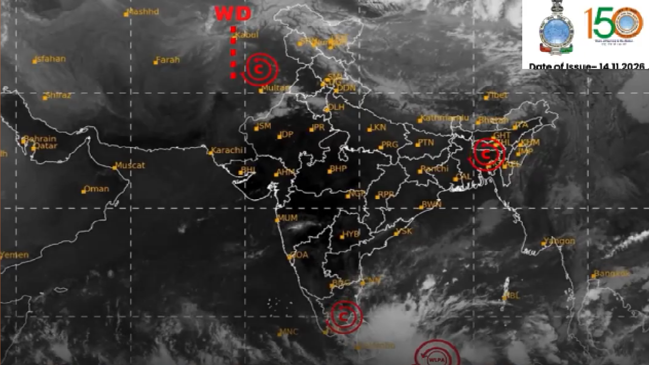
The latest update of cyclone Akvan says that a well marked low-pressure area formed over Southeast Bay of Bengal. It is very likely to move northwestwards and intensify into a depression over the same region during next 24 Hours.
Thereafter, it is likely to move north-northwestwards and intensify further into a cyclonic storm that is Cyclone Akvan. It will centered over the central parts of south and adjoining west central Bay of Bengal around November 16 evening.
A Well Marked Low Pressure Area has been formed over the Southeast Bay of Bengal and is very likely to intensify into a Depression during the next 24 hours.
It is further likely to intensify into a Cyclonic Storm around the evening of November 16, 2026 over the central parts of the South and adjoining West central Bay of Bengal. Fishermen and coastal communities are advised to follow official IMD weather updates and warnings.
Daily Weather Briefing (14.11.2026)
A Well Marked Low-Pressure Area formed over Southeast Bay of Bengal. It is very likely to move northwestwards and intensify into a depression over the same region during next 24 Hours. Thereafter, it is likely to move north-northwestwards and intensify further into a cyclonic storm over the central parts of south and adjoining westcentral Bay of Bengal around 16th November evening.
YouTube : https://t.co/18laxjwK1y
Facebook : https://t.co/2XY7kB8sIJFor more information, visit Us : https://t.co/BPpoTbykBF
#IMD #CycloneAlert #BayOfBengal #DepressionAlert #CyclonicStorm #WeatherUpdate #IMDAlert #WeatherForecast
@moesgoi @airnewsalerts @DDNational @ndmaindia @ICRER_MHA
— India Meteorological Department (@Indiametdept) November 14, 2026