
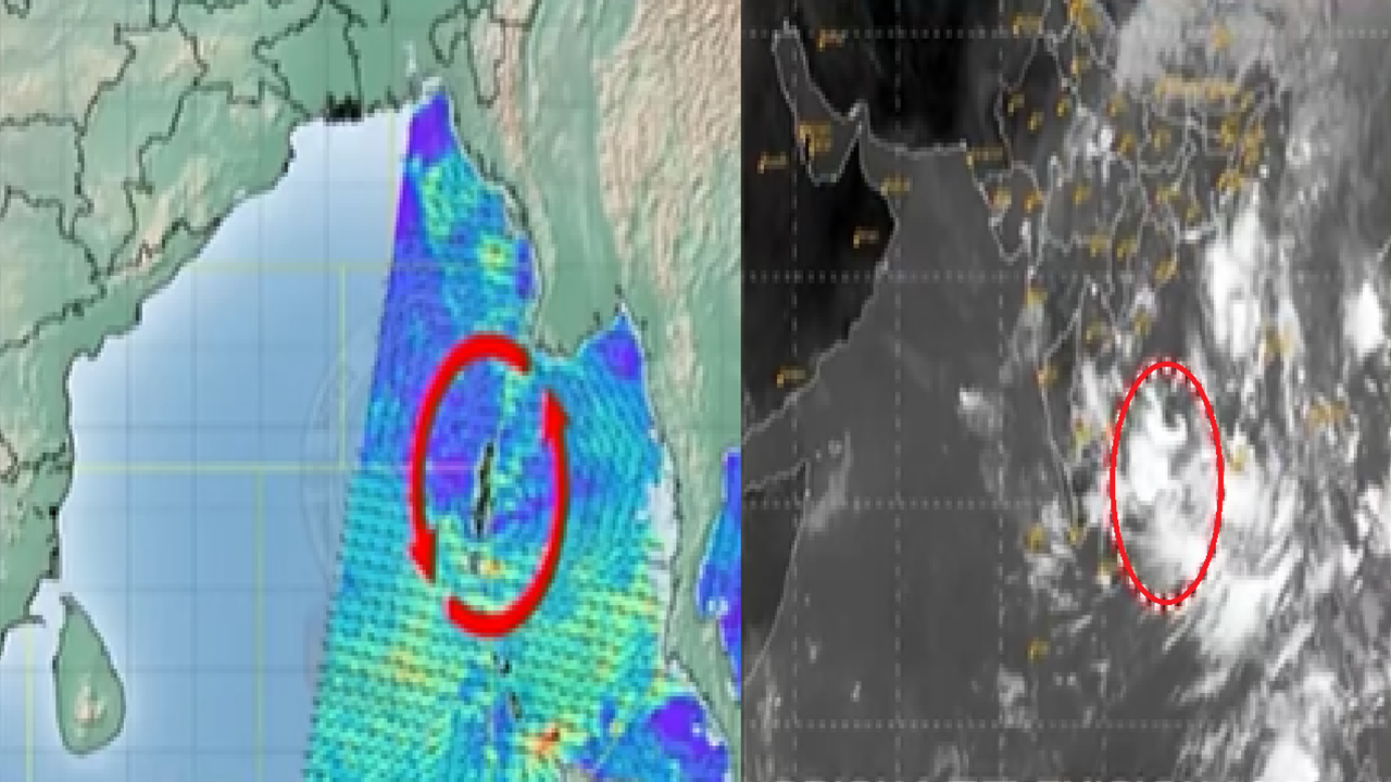
Low pressure may take the form of a depression today causing heavy rainfall in Odisha. It is likely to reach the South Odisha-North Andhra coast on September 23.
The India Meteorological Department (IMD) has predicted that the low pressure area active in the Bay of Bengal may intensify further today and take the form of a depression. The track and intensity of this weather system are being monitored continuously.
The low pressure formed over the North Andaman Sea and adjacent east-central Bay of Bengal is moving west-northwestwards. Due to favourable weather conditions, it is likely to develop into a depression over the east-central Bay of Bengal today. After the depression formation, it may gather more strength in the sea.
It is estimated to take the form of a deep depression over the West-Central Bay of Bengal by tomorrow. Continuing to move west-northwestwards, this system may reach the sea off the North Andhra Pradesh and South Odisha coasts by the morning of September 23. By then, it is likely to be over the west-central and adjoining northwest Bay of Bengal.
There is no clear estimate yet as to where the system will reach the coast or cross the land. The Meteorological Department has not yet made any official announcement whether it will turn into a cyclone. However, the system may increase rain and heavy rainfall in Odisha is likely.
Also Read: Cyclone in Odisha: Warning issued by MeT Bhubaneswar for fishermen